


LOWS TONIGHT: MID-UPPER 60's
HIGHS FRIDAY: MID-70's
DISCUSSION
Another unseasonably warm day across Acadiana as highs reached the mid-upper 80's.
Seems a little too early for all that, but that's just me!
A cool front will try and work through the area Friday.
However, the front, along with the showers will be weakening as they move into Acadiana.
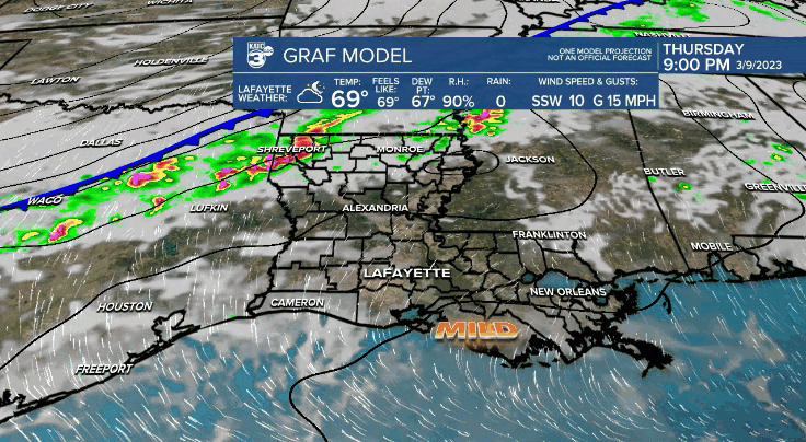
Don't expect much rainfall (<.10").
Clouds will dominate for most of the day.
Highs will be slightly cooler in the mid-70's.
Don't get too comfortable as the warmth and humidity gradually increase into the weekend.
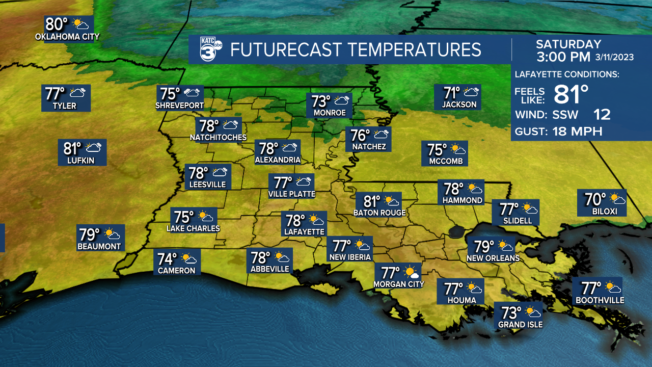
In fact, highs will once again be pushing the mid-80s Sunday afternoon.
A stronger front arrives Sunday night.
Again, not much rainfall is expected with this front either.
However, we will see highs in the 60's with lows in the 40's for a few days following this frontal passage.
Refreshingly cooler if you will!
A better soaking of rainfall could arrive by next Friday, but we'll see how the pattern evolves with time.
Have a good one,
------------------------------------------------------------
Stay in touch with us anytime, anywhere.
To reach the newsroom or report a typo/correction, click HERE.
Sign up for newsletters emailed to your inbox. Select from these options: Breaking News, Evening News Headlines, Latest COVID-19 Headlines, Morning News Headlines, Special Offers
