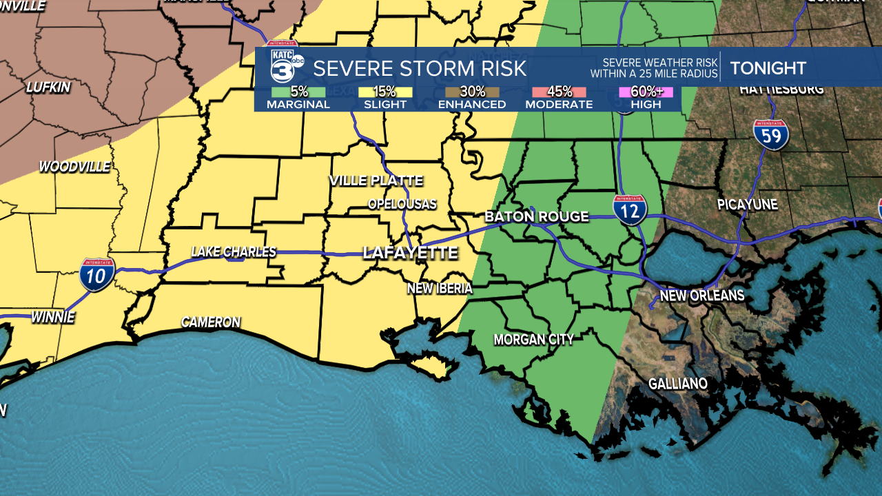
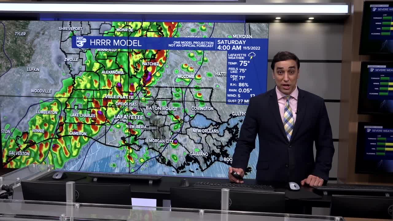
TONIGHT: STORMS LIKLEY
SATURDAY: STORMS EARLY, SETTLING DOWN BY PM
DISCUSSION
A cold front is currently advancing across the Ark-La-Tex this afternoon producing the threat of severe storms.
That same front will arrive to Acadiana a little later on tonight.
The good news for us is that some of the storm dynamics will be lifting away, reducing the severe weather threat here in Acadiana.

Nonetheless, most of the area is still under a level 2 out of 5 risk to see severe storms tonight.
Primary concerns will be strong winds, hail and perhaps an isolated tornado.

Locally heavy rains will also be possible as the line of storms push through.
TIMING:
WESTERN PARISHES: MIDNIGHT-3am
HEART OF ACADIANA/EASTERN: 2-6am
Leftover scattered showers will still remain through daybreak Saturday before the bulk of the activity pushes east of Acadiana by late morning.
Looks like we'll get a decent soaking out of this with most of us picking up around 1-2" of rainfall.

We'll be left with lingering clouds for the better part of the afternoon as highs struggle to reach the lower 70s.
I do think we'll see some clearing by tomorrow evening as readings fall into the 60s.
A few showers are possible Sunday as the front stalls and lifts back to the north as a warm front.
Highs Sunday afternoon will top out in the 80s.
Have a great weekend!
------------------------------------------------------------
Stay in touch with us anytime, anywhere.
To reach the newsroom or report a typo/correction, click HERE.
Sign up for newsletters emailed to your inbox. Select from these options: Breaking News, Evening News Headlines, Latest COVID-19 Headlines, Morning News Headlines, Special Offers


