


LOWS TONIGHT: MID-70S
HIGHS SUNDAY: UPPER 80S/LOWER 90S
DISCUSSION
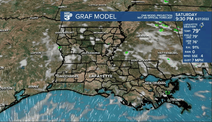
Be on the lookout for scattered storms if you are making your way out late this afternoon and early this evening.
Rain will dissipate as the evening wears on.
Skies will fair out late tonight as lows settle into the mid-70s.
We'll get ready to do it all over again Sunday.
Outside of maybe a few coastal showers in the morning, the bulk of us will be dry to start.
Tropical moisture will begin working in from the Gulf throughout the day.
As that interacts with the sea breeze and daytime heating, I expect a decent scattering of showers and storms across Acadiana.
Prime-time would be from the mid-morning hours into the afternoon.
Any one storm that gets going will have the capability to put down brief, heavy rains.
Highs will settle into the upper 80s to lower 90s.
Overall, abundant low-level moisture will keep rain chances elevated to start the new week.
Expect those rain chances to fluctuate between 40-60% for the better part of the upcoming week.
No real end to our wetter than normal pattern in sight...
Have a great rest of the weekend!
TROPICS
Three areas of interest are now being highlighted by the National Hurricane Center.
Two are still way out in the Atlantic.
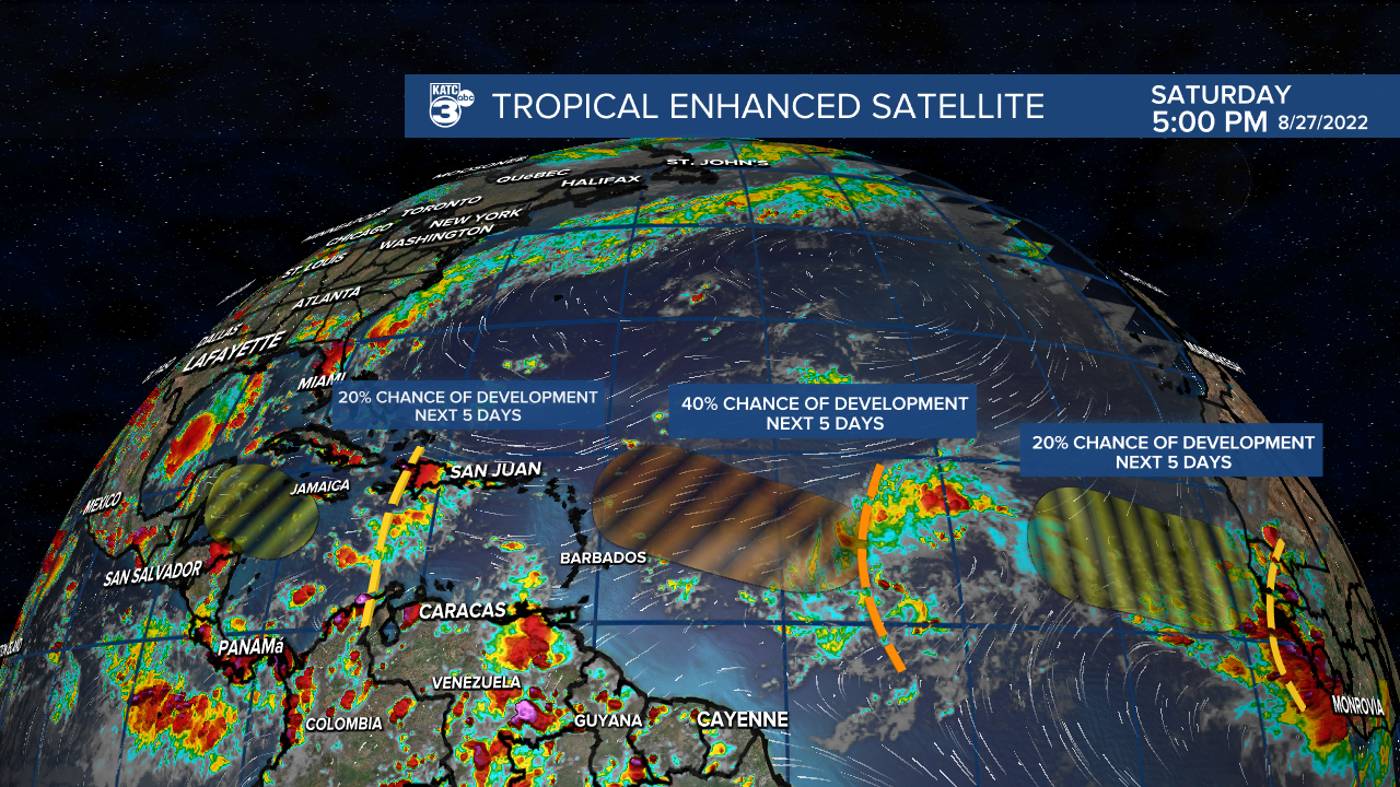
The one in the central Atlantic will bear watching in the days ahead as models continue to show future development.
As of now, a track north of the Caribbean islands in the short-term looks more likely.
Thereafter, it could turn harmlessly out to sea or get a little closer to the southeastern US.
Plenty of time to watch, so we'll continue to keep an eye on it.
The wave currently in the Caribbean continues to look poor on the satellite imagery as it battles dry air and wind shear.
The only model that tries to develop this feature down the line is the GFS.... bringing it across the Yucatan and into the Bay of Campeche (extreme southern gulf and towards Mexico).
We'll see, but does not look overly concerning at this point.
Again, no pending threats to Acadiana at this point!
------------------------------------------------------------
Stay in touch with us anytime, anywhere.
To reach the newsroom or report a typo/correction, click HERE.
Sign up for newsletters emailed to your inbox. Select from these options: Breaking News, Evening News Headlines, Latest COVID-19 Headlines, Morning News Headlines, Special Offers
