


A chilly start to the week is on tap across Acadiana with temperatures staying in the low 60s in the afternoon and steady winds coming from the north.
There's a handful of morning clouds expected but generally more sunshine on the way later in the day.
Winds will be strong and gusty coming from the north and driving in some much colder air into the area.
If the winds relax a bit overnight there's a chance northern parts of Acadiana could see a light frost by Tuesday morning, the NWS as a result has issued a Frost Advisory for Evangeline and St. Landry Parish.
New, tender vegetation should be covered up for anyone who has gotten some spring planting going over the last week or so.
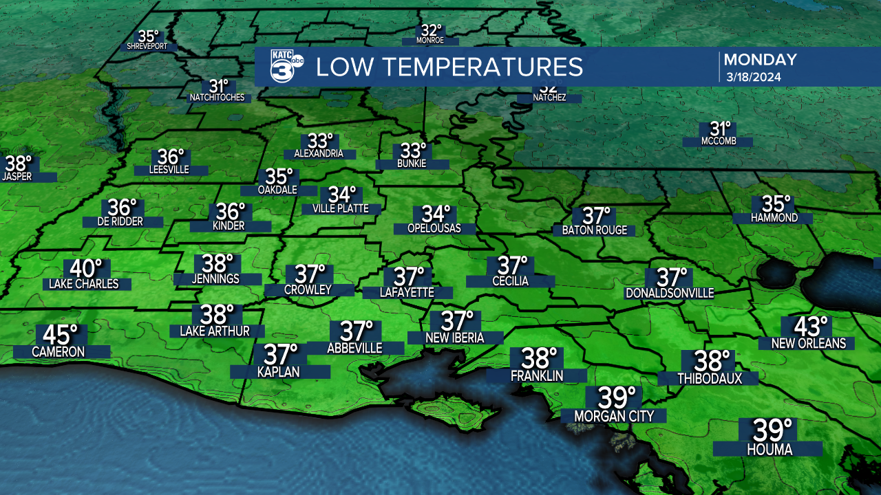
Lows across Acadiana are expected to get into the mid to upper 30s.
We'll stay cool through the middle of the work week before a little more moisture gets into the area ahead of our next storm system.
A quiet couple of days will come to an end on Thursday with showers and storms moving through the area as part of an upper level disturbance.
The good news is that showers should move through fairly quickly and we'll be clearing again by the weekend.
------------------------------------------------------------
Stay in touch with us anytime, anywhere.
To reach the newsroom or report a typo/correction, click HERE.
Sign up for newsletters emailed to your inbox. Select from these options: Breaking News, Evening News Headlines, Latest COVID-19 Headlines, Morning News Headlines, Special Offers
