LOWS TONIGHT: LOW-MID 50S
HIGHS WEDNESDAY: MID-70s
DISCUSSION
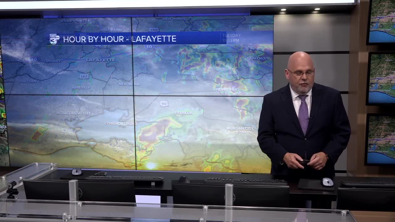
Thankfully, not much in the way of severe weather today in Acadiana.
We sort of touched on this yesterday, but essentially we weren't expecting widespread heavy rainfall, but rather more isolated, unorganized activity.
That is indeed what we saw.
Additionally, after doing some analysis, it's probably safe to assume that the cooler shelf Gulf waters (courtesy of the Christmas freeze) played a roll in limiting severe weather here locally.
Either way, we'll take it!
TONIGHT INTO WEDNESDAY
Any leftover shower and storm activity will exit the region this evening.
We'll then be turning cooler into Wednesday morning.
Expect lows to drop into the low-mid 50s as skies clear late tonight.

Wednesday will feature mostly sunny skies as well as a reduction in our humidity!
Highs will push their way into the mid-70s.

So, a great day to perhaps take the lunch outside!
REST OF THE WEEK/WEEKEND
Beautiful weather will be in store for the latter part of the week.
Highs will settle into the mid-60s both Thursday and Friday under mostly sunny skies.
Lows will be chilly in the 40s.
The weekend should start off fine Saturday with highs in the mid-70s and slightly higher humidity.
A disturbance aloft will likely generate showers on Sunday.
Timing looks to be weighted toward the second half of the day, but that'll come into better focus in the days ahead.
Have a good one!
------------------------------------------------------------
Stay in touch with us anytime, anywhere.
To reach the newsroom or report a typo/correction, click HERE.
Sign up for newsletters emailed to your inbox. Select from these options: Breaking News, Evening News Headlines, Latest COVID-19 Headlines, Morning News Headlines, Special Offers


