


TONIGHT: Fair-partly cloudy & cool
TUESDAY: Partly cloudy & mild.. few scattered showers
DISCUSSION
The weather pattern will turn somewhat more unsettled in the days ahead as a non-tropical low slowly drifts northward through the region.

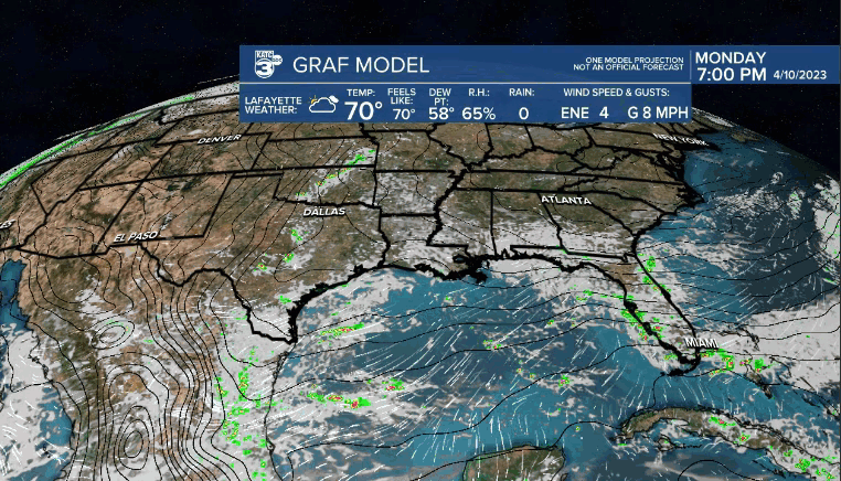
In the short-term, it'll be another refreshingly cool night ahead as lows settle into the upper 50s.
Partly cloudy and mild conditions can be expected Tuesday.
Highs will push their way into the mid-70s.
A few wrap around showers will become possible during the afternoon hours as the surface low swirls just offshore.
The low will slowly drift northward Wednesday into Thursday keeping rain chances in the forecast.
The Weather Predication Center (WPC) indicates highest rainfall amounts likely setting up offshore, but we'll have to be on the lookout for maybe a sneaky 1-2" along coastal regions of Acadiana.
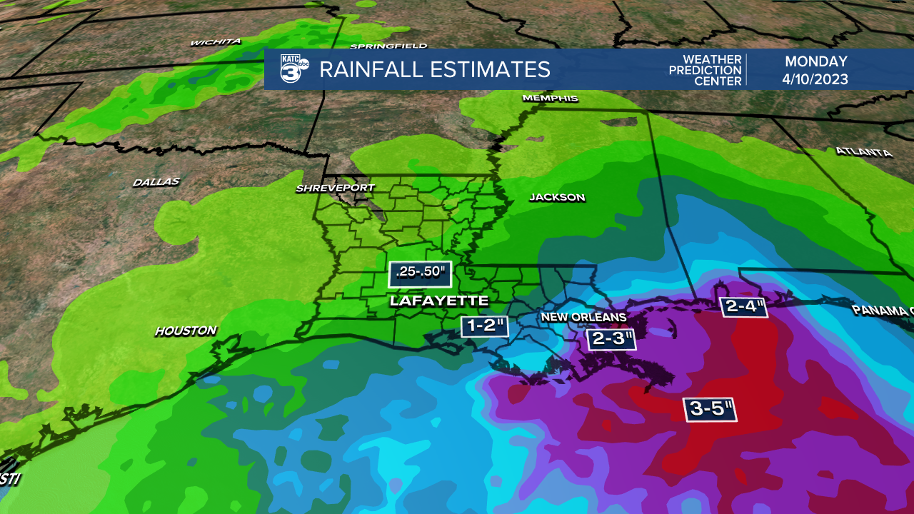
Areas to the north and west will pick up less.
A drier and warmer pattern will follow into Friday before storm chances increase Saturday ahead of the next frontal boundary.
A quick dip in temperatures looks possible into the early parts of the following week.
Have a great one!
------------------------------------------------------------
Stay in touch with us anytime, anywhere.
To reach the newsroom or report a typo/correction, click HERE.
Sign up for newsletters emailed to your inbox. Select from these options: Breaking News, Evening News Headlines, Latest COVID-19 Headlines, Morning News Headlines, Special Offers
