Expect a scattering of showers and storms to push into the area this evening as an upper-level feature traverses the region.
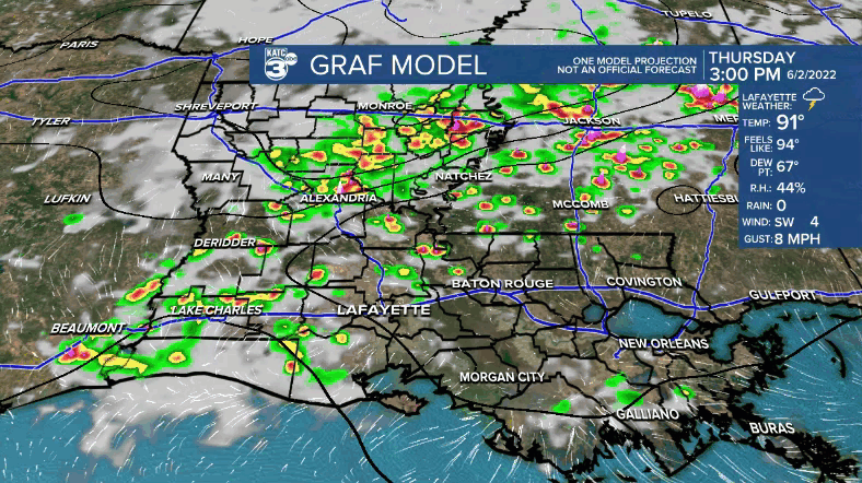
There is a low-end threat that some of those storms could contain strong wind gusts and/or hail.
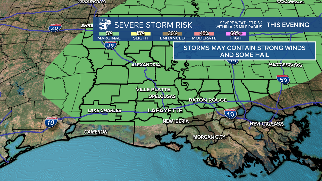
Locally heavy rains may accompany a few of the cells as well.
Otherwise, mild and muggy overnight as lows drop into the lower 70s.
A hot and humid end to the week Friday as highs push the upper 80s under a mixture of sun and clouds.
As per usual this time of year, a few scattered showers and storms will develop by the afternoon with daytime heating (30-40%).
Heading into the weekend, rain chances down just a bit Saturday (20-30%), but we'll see a slight uptick come Sunday afternoon.
Still, no complete washouts expected.
Highs will push the lower 90s.
Drier air will try and work in for the early-mid parts of next week helping to lower rain chances.
Won't stop the heat as highs push the low-mid 90s.
Have a good one!
TROPICS
Invest 91L is likely to develop into a depression or storm in the next 24-48 hours.
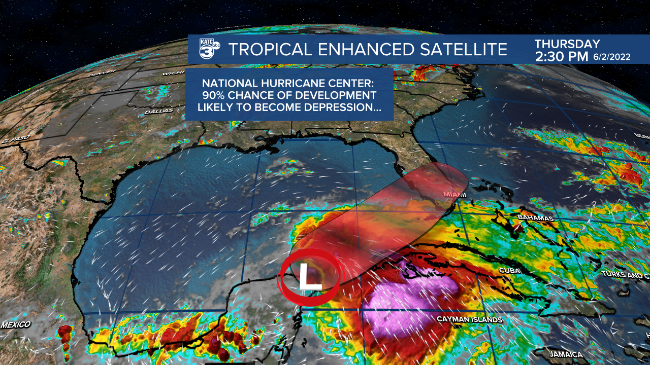
The name would be Alex if it were to develop.
Regardless, it will not be a threat to Acadiana.
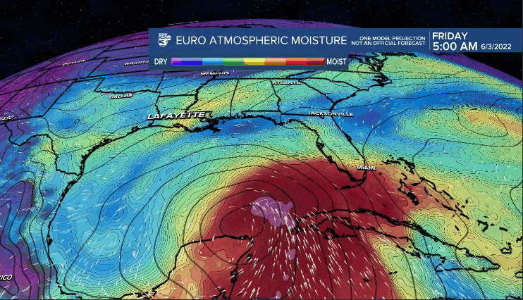
But, it will bring squally weather and heavy rains to central/south Florida this weekend, so keep that mind if you are traveling down there.
Rest of tropics are quiet at this time.
------------------------------------------------------------
Stay in touch with us anytime, anywhere.
To reach the newsroom or report a typo/correction, click HERE.
Sign up for newsletters emailed to your inbox. Select from these options: Breaking News, Evening News Headlines, Latest COVID-19 Headlines, Morning News Headlines, Special Offers
