


Mild and muggy conditions tonight.
Lows will settle into the mid-upper 70s under fair skies.
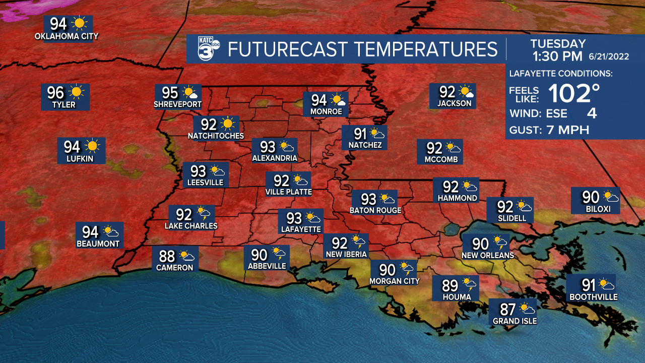
Hot and humid heading into our Tuesday with highs in the low-mid 90s.
With enough low-level moisture in place, I think we'll see a few scattered storms developing during the afternoon hours.
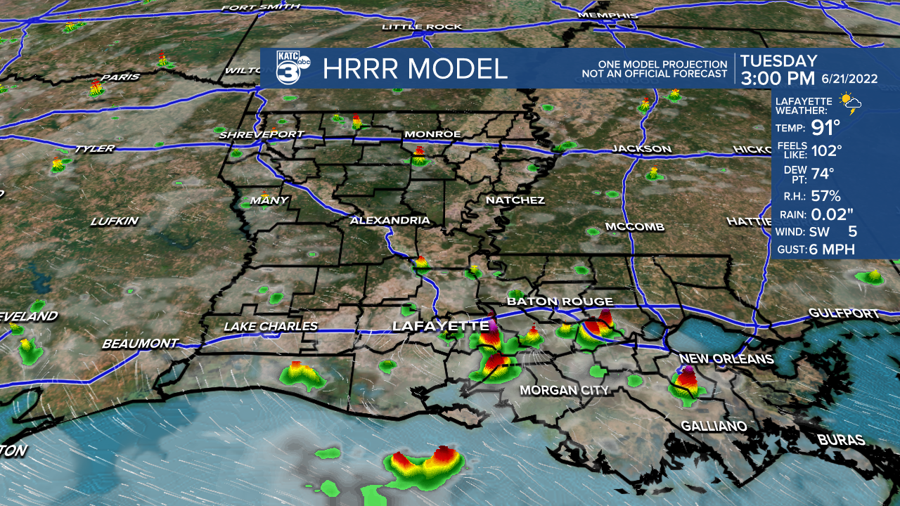
Rain chances at 30%.
A large ridge of high pressure (heat dome) will continue to dominate the forecast for the rest of the week and heading into the weekend.
As a result, the heat stays on as rain chances will be limited to 20% for maybe a couple pop-up storms for our afternoons.
We're talking some serious heat as highs push the mid-upper 90s.
Some of you may even surpass 100° for a couple of the days.
Make sure to stay hydrated and take frequent breaks if you have to be outdoors!
Still looks like we may finally see a break in the pattern by next week with the return of better rain chances and near-normal temperatures.
Have a great rest of the week!
TROPICS
All is quiet with no new developments expected at least in the next 5 days.
------------------------------------------------------------
Stay in touch with us anytime, anywhere.
To reach the newsroom or report a typo/correction, click HERE.
Sign up for newsletters emailed to your inbox. Select from these options: Breaking News, Evening News Headlines, Latest COVID-19 Headlines, Morning News Headlines, Special Offers
