


LOWS TONIGHT: MID-70s
HIGHS FRIDAY: MID-90s
DISCUSSION
Well this evening we'll officially kick off the fall season, but you wouldn't be able to tell by the weather!
A large ridge of high pressure continues to dominate the forecast here in Acadiana.
And although it will begin to subside a bit in the days ahead, we are still looking at some very hot days through the course of the weekend.
Plan on highs to push the mid-90s Friday and then lower 90s for the most part this weekend.
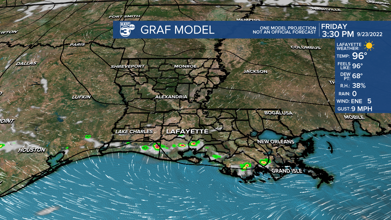
A few isolated showers will enter the equation over the next few days, but rain chances will remain fairly isolated in nature (20% or less).
A drying cool front will sweep through Monday and help to usher in more comfortable air into the region... will especially be more noticeable for the overnight hours next week.
There is still uncertainty with the long-range track of Invest 98L next week, so we'll have to continue monitoring its progression in the days ahead.
Be sure to read my latest tropical discussion below.
Have a good one!
TROPICS
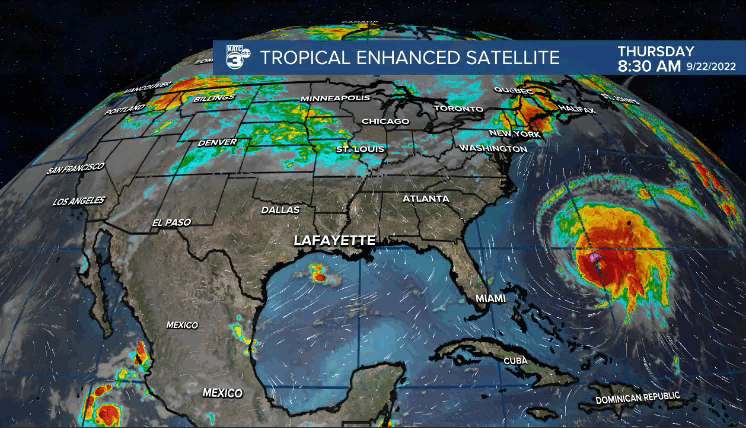
Invest 98L continues to gain a lot of attention on social media.
So let's dive in.
It is currently positioned near the coast of Venezuela in South America where development is not likely due to an unfavorable wind shear environment.
However, that will change as it moves away from South America in the days ahead and gains latitude in the NW Caribbean.
Additionally, water temperatures are very warm (and deep) in the NW Caribbean, so conditions will be ripe for intensification.

A named system will likely form this weekend.
If so, the name would be Hermine or Ian.
Furthermore, in all likelihood, the feature will become the next hurricane of the season.
The long range forecast of Invest 98L is still a bit uncertain as there remains a decent spread in the computer models.
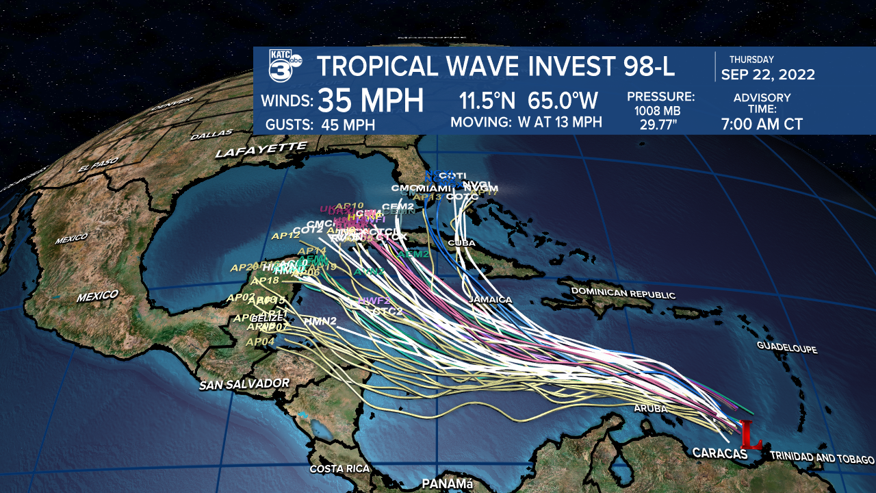
The Euro has been very consistent with an eventual N to NE turn of the feature once in the southern Gulf in response to a digging trough.
The GFS has been farther west in its long-range track, but has come back a little farther east in its latest run (Florida panhandle)
FYI, timing here is early-mid next week.
BOTTOM LINE: Nothing is threatening Louisiana at the moment.
Partly cloudy and hot days will continue thru this weekend.
We have to let 98L develop first and then with time, the models will have a much better handle on its eventual track.
Stay tuned and informed, but not worried...
------------------------------------------------------------
Stay in touch with us anytime, anywhere.
To reach the newsroom or report a typo/correction, click HERE.
Sign up for newsletters emailed to your inbox. Select from these options: Breaking News, Evening News Headlines, Latest COVID-19 Headlines, Morning News Headlines, Special Offers
