


Welcome to a new week everyone!
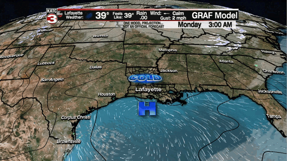
Another cold night ahead as low temperatures eventually drop back into the lower and mid-30s under clear skies.
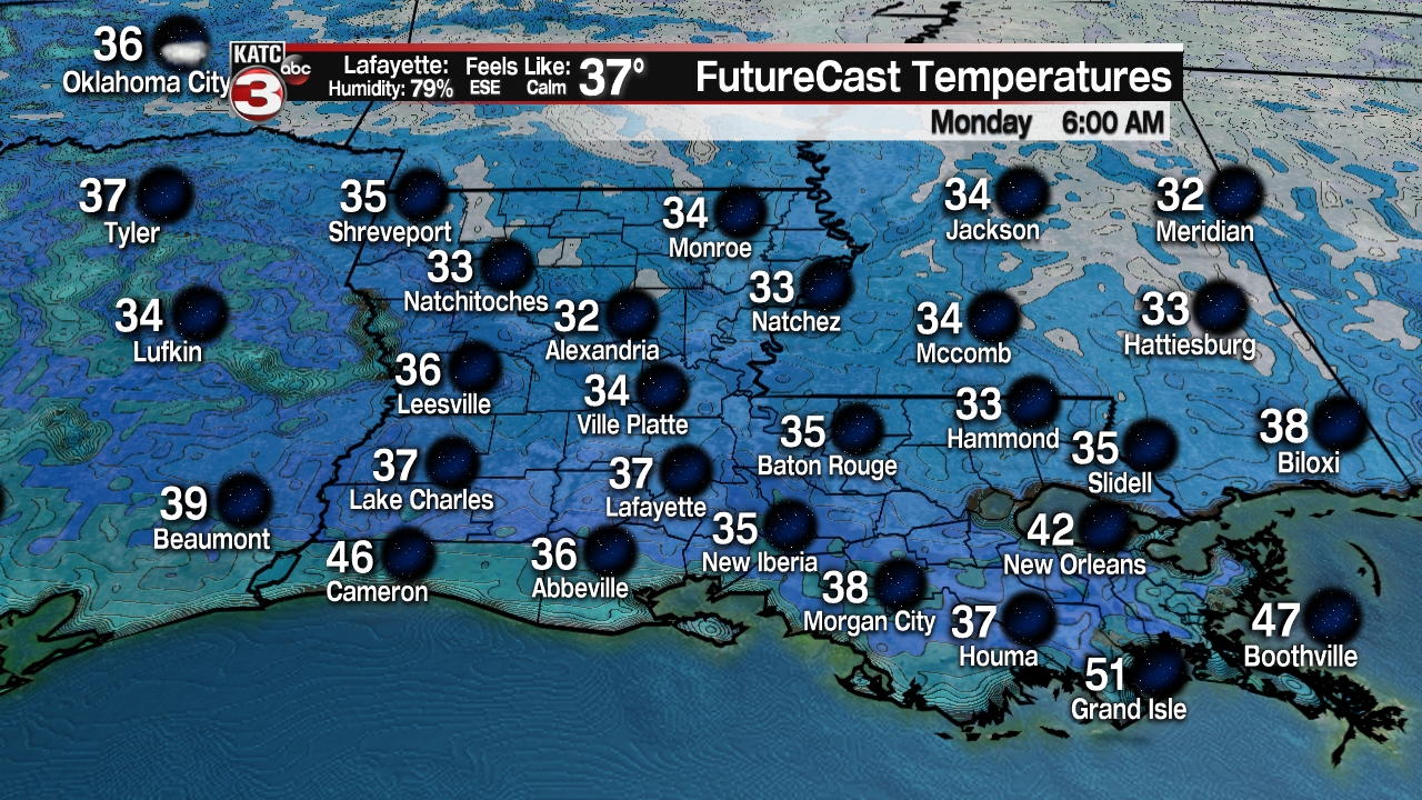
High pressure essentially moves right overhead by tomorrow morning (leading to clear and calm conditions), so a frost will certainly be possible by morning.
Of course, you may want to make sure the pets and plants are taking cared of... at least for one more night.
High pressure in control tomorrow which will lead to very nice conditions out there for your M.L.K. Day.

Expect plenty of sunshine as highs settle into the lower and mid-60s.
High pressure will continue to work off to our east heading into Tuesday morning, so temperatures won't be quite as cold, but still chilly, in the mid to upper 40s.
A cold front will be draped across the northern part of the state throughout Tuesday which is where the shower activity will remain.
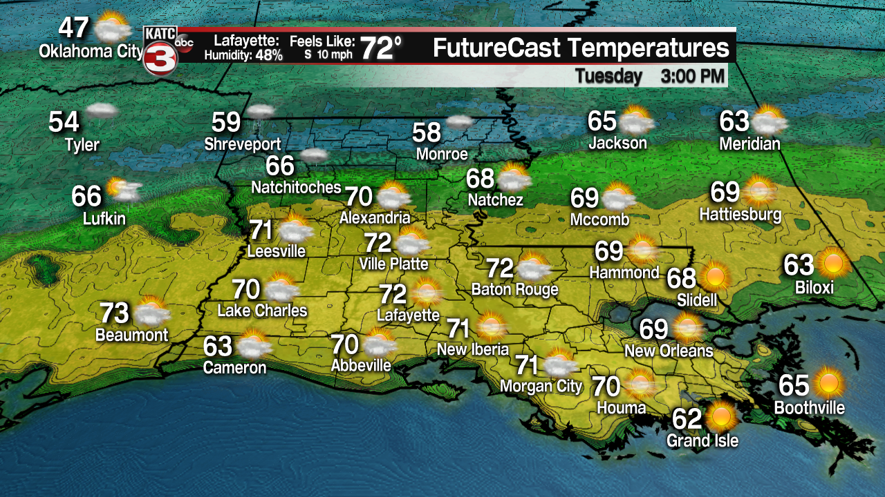
Fair to partly cloudy skies expected for Tuesday here, but as southerly flow continues to increase, high temperatures will be pushing the lower 70s on Tuesday afternoon.
The front will lose its steam as it pushes through our area late Tuesday into early on Wednesday morning as a stationary front.
We may see a few light sprinkles through the overnight period Tuesday into the early Wednesday morning time frame as that front moves through, but nothing impressive.
No significant cool down behind it. In fact, temperatures will still flirt with the lower 70s on Wednesday afternoon under partly to mostly skies.
Another upper-level disturbance will start to approach the area heading into late week.
Rain chances will start to increase slightly for Thursday/Friday, but chances are not overly high for now (30-40%) as models continue to differ slightly on a concrete solution.
The heaviest of the rainfall will likely stay off to our north as most of the models keep our rainfall totals fairly low through the end of the week.
We will continue to watch the trends in the days ahead.
Temperatures will continue to push the lower 70s through the end of the week, before slightly cooler temperatures perhaps arrive for Saturday.
Y'all have a great week!
------------------------------------------------------------
Stay in touch with us anytime, anywhere.
To reach the newsroom or report a typo/correction, click HERE.
Sign up for newsletters emailed to your inbox. Select from these options: Breaking News, Evening News Headlines, Latest COVID-19 Headlines, Morning News Headlines, Special Offers
