


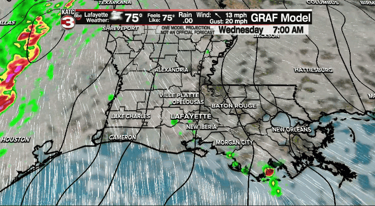
A robust, energetic front will be moving across Acadiana today and bringing with it the chance for some strong and possibly severe storms.
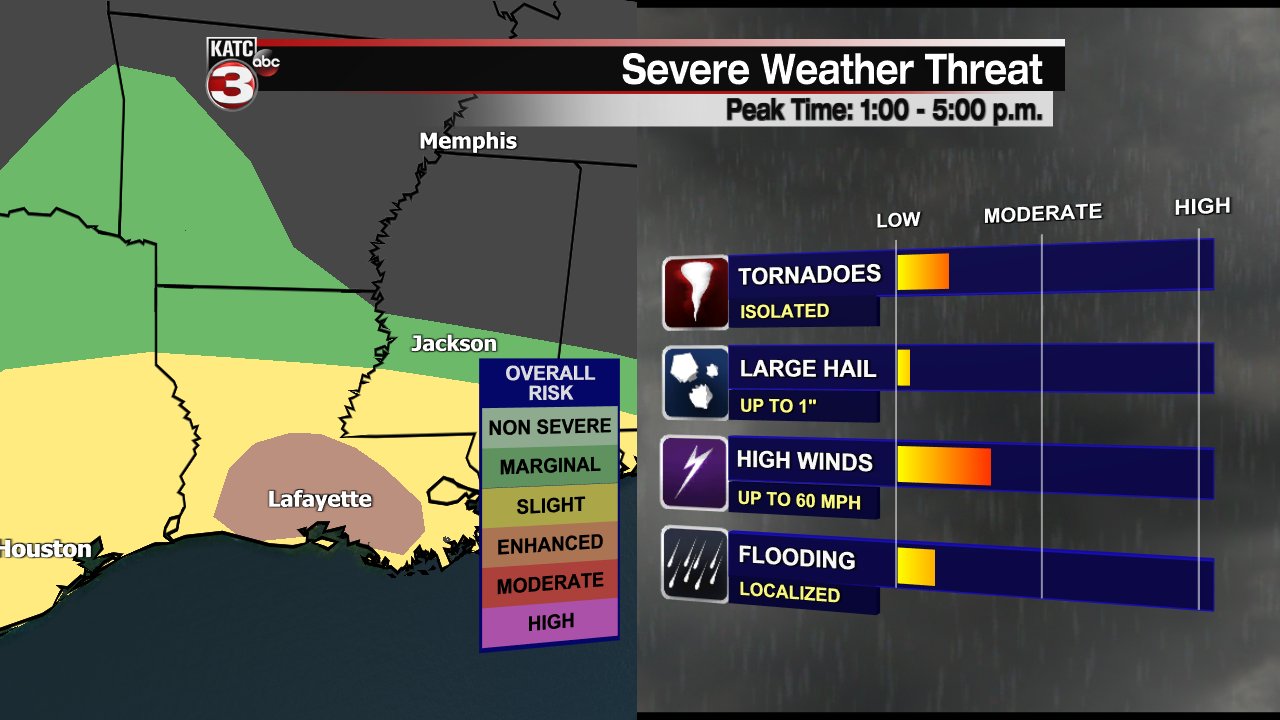
Currently Acadiana has an "Enhanced Risk" of severe weather with strong damaging winds the primary threat, along with isolated spin-up tornadoes.
The timing of these severe storms will be right in the middle of the day, between about 1:00 to 5:00 p.m. is when the front will swing through.
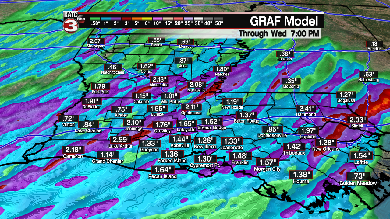
While flooding isn't the primary concern with this system it could produce an inch or so in a short amount of time, which would put some stress on the roads that typically struggle to drain.
This is a good time to make sure those notifications are turned on and that you have a way to receive those weather alerts.
Once the front moves through the area the weather pattern will flip completely, winds will shift to come out of the north west around 20-25 mph and gusting around 30-35 mph.
Temperatures will drop significantly almost as soon as the front moves through and lows will drop down into the upper 50s, and highs the rest of the week will stay in the upper 60s and low 70s.
A really nice fall pattern will take hold and dry, cool conditions will stick with us through the rest of the week and the weekend.
------------------------------------------------------------
Stay in touch with us anytime, anywhere.
To reach the newsroom or report a typo/correction, click HERE.
Sign up for newsletters emailed to your inbox. Select from these options: Breaking News, Evening News Headlines, Latest COVID-19 Headlines, Morning News Headlines, Special Offers
