


LOWS TONIGHT: MID-60S
HIGHS MONDAY: UPPER 70S
DISCUSSION
BIG CHANGES on the way this week across Acadiana.
After an unseasonably warm weekend, we'll be switching the dial to winter in the coming days!
A strong cold front will be pushing through Monday.
Expect mostly cloudy skies to start the week with the possibility of a few passing showers as the front moves in.

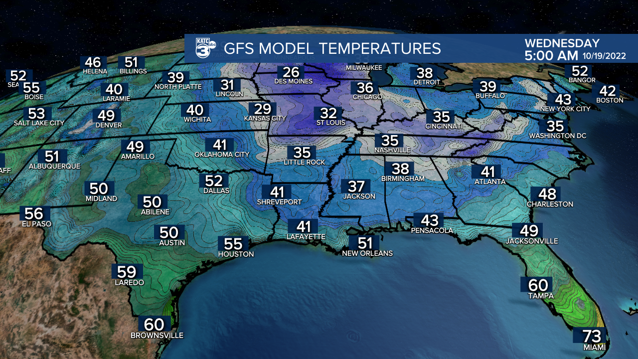
Behind the front, we are looking at the coolest air of this early fall-winter season moving into Acadiana.
Highs will be planted in the 60s Tuesday/Wednesday.
Lows will flirt with the upper 30s to lower 40s come Wednesday and Thursday mornings.
Dust off the jackets and coats!
Have a great week!
------------------------------------------------------------
Stay in touch with us anytime, anywhere.
To reach the newsroom or report a typo/correction, click HERE.
Sign up for newsletters emailed to your inbox. Select from these options: Breaking News, Evening News Headlines, Latest COVID-19 Headlines, Morning News Headlines, Special Offers
