LOWS TONIGHT: Mid-40s
HIGHS SATURDAYS: 40S
DISCUSSION
Welcome to the weekend, Acadiana!
Chilly conditions if you are planning on heading out tonight.
Temperatures will be falling through the 50s this evening before settling into the mid-40s late tonight into Saturday morning.
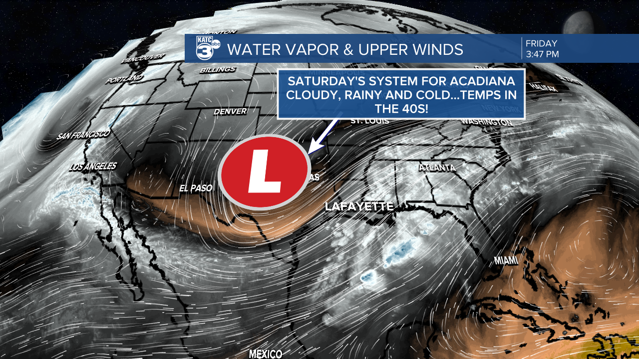
Unfortunately, dreary and cold conditions will dominate Saturday as a large, cold core upper-low traverses the region.

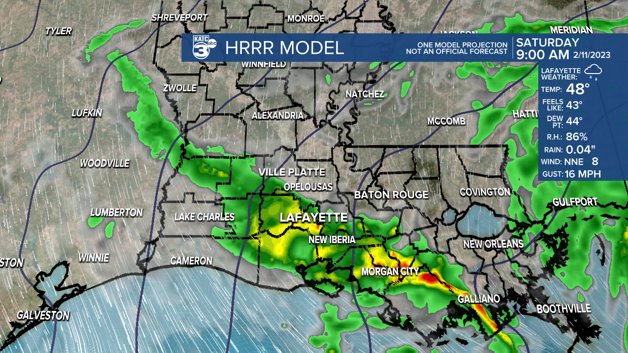
Light rain showers/misty sprinkles will be likely at times, mainly during the first half of the day.

Any precipitation we see will be light in nature.
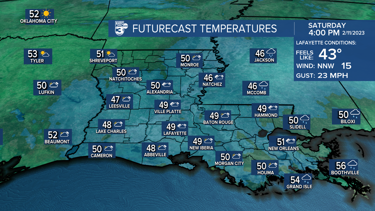
Temperatures will struggle to get out of the 40s thanks to the cloud cover.

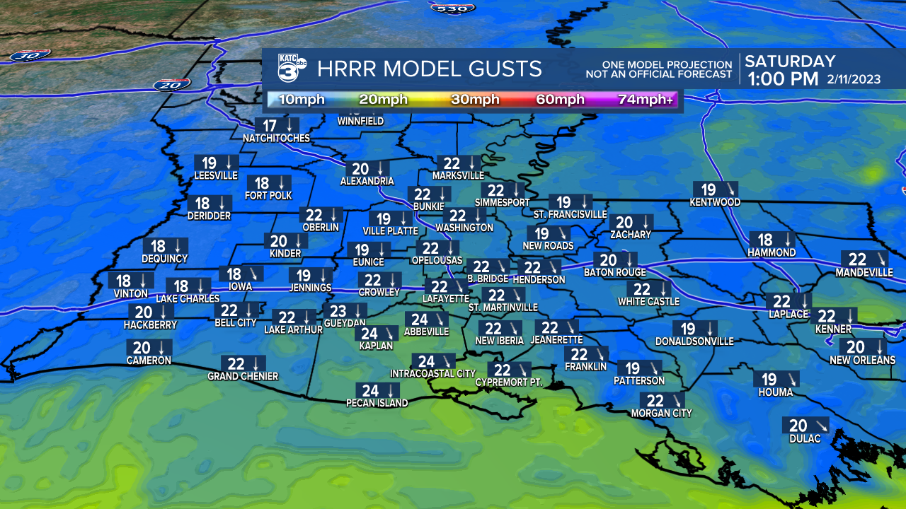
Winds will be breezy as well, giving us that wind chill factor.

In fact, it'll be feeling like the 30s for the better part of Saturday evening/night.

Be sure to bundle up if you're heading out to the parade!
The good news is that sunny weather will be returning Sunday.
After a morning start in the mid-upper 30s, highs will top out comfortably in the low-mid 60s Sunday afternoon.
Warming up into the start of the new week as highs push into the 70s.
Rain chances return for the middle parts of the week as the pattern looks to turn a little bit more unsettle.
Another shot of cooler weather could return for the following weekend.
We'll monitor how the long-range pattern evolves with time, so stay tuned!
Have a great weekend.
------------------------------------------------------------
Stay in touch with us anytime, anywhere.
To reach the newsroom or report a typo/correction, click HERE.
Sign up for newsletters emailed to your inbox. Select from these options: Breaking News, Evening News Headlines, Latest COVID-19 Headlines, Morning News Headlines, Special Offers


