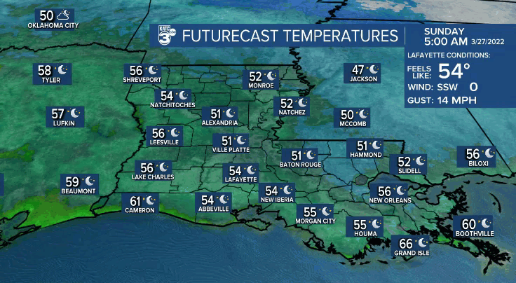
Clear and cool conditions tonight as lows drop into the lower 50s by Sunday morning.
Mostly sunny and nice once again on Sunday.
Temperatures will be warm by the afternoon as most of us top out in the lower 80s.
Southerly winds will keep readings milder Sunday night/Monday morning (lower 60s).
Expect a quiet, warm and breezy start to the week.
Highs will continue to challenge the lower 80s through Tuesday.
Our next storm system will arrive on Wednesday.

Showers and storms will be a good bet, especially during the afternoon hours.
There is already a slight risk (level 2 out of 5) of severe weather across the region.

Damaging, gusty winds will likely be the primary threat, but as usual this time of year, we'll be on the lookout for an isolated tornado warning or two.
A slightly greater risk of severe storms will set up across the ArkLaMiss.
We'll be watching how the forecast evolves very closely in the days ahead, so be sure to stay with us for the latest.
Mostly sunny skies return Thursday.
Have a great rest of the weekend!
------------------------------------------------------------
Stay in touch with us anytime, anywhere.
To reach the newsroom or report a typo/correction, click HERE.
Sign up for newsletters emailed to your inbox. Select from these options: Breaking News, Evening News Headlines, Latest COVID-19 Headlines, Morning News Headlines, Special Offers
