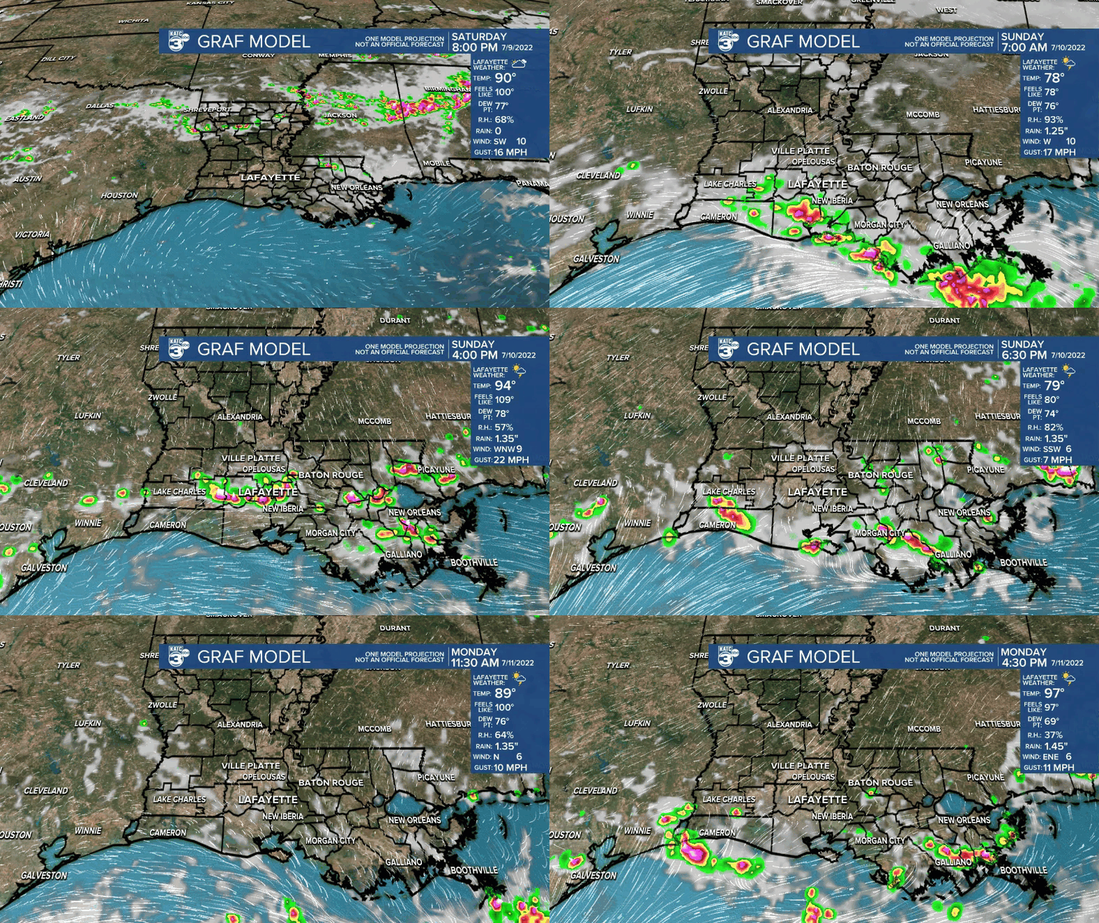
Another heat advisory will go into effect Sunday with similar numbers expected.
Plan on highs pushing the mid-90s with those heat index values well into the triple digits.
Be sure to hydrate if you plan on being outside for sure!
Now we will see a better chance of scattered T-showers Sunday, especially during the morning, as a frontal trough advances into the region.

Should catch a break mid-day before potentially another round of storms fire up later on in the afternoon.
The day as a whole will not be a washout.
In fact, when it is not raining and the sun comes out, it'll be quite hot and sticky.
That boundary, coupled with deep tropical moisture, will keep the pattern unsettled for much of the week ahead.
Expect a healthy chance of scattered showers and storms just about each and every day with rain chances peaking mid-week.
With that said, daytime highs will start to be limited to the 80s... so, at least a slight break from the big heat.
Have a great rest of the weekend.
TROPICS
No new developments at least in the next 5 days.
------------------------------------------------------------
Stay in touch with us anytime, anywhere.
To reach the newsroom or report a typo/correction, click HERE.
Sign up for newsletters emailed to your inbox. Select from these options: Breaking News, Evening News Headlines, Latest COVID-19 Headlines, Morning News Headlines, Special Offers


