


Tonight: Mild & muggy
Friday: Warm with scattered storms
DISCUSSION
Happy Friday eve!
Mild and muggy conditions tonight as lows struggle to drop into the 60s.
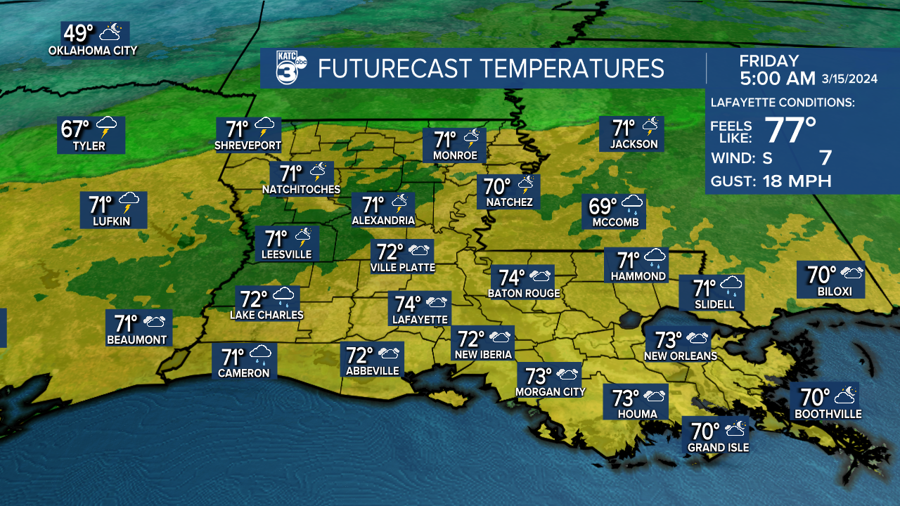
Some patches of fog could be possible in spots.
Several impulses in the upper-levels will keep the pattern active beginning Friday and lasting into the weekend.
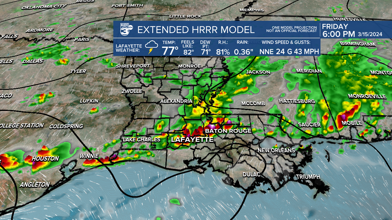
There is a low-end risk of severe storms Friday, especially during the afternoon/evening hours.

Primary threats would be gusty winds and hail accompanying a few of the storms.
Highest rain chances this weekend will come on Sunday, although scattered activity will remain possible Saturday.

We'll finally get a push in the upper-levels to clear things out early next week (of course).
It'll briefly turn cooler.
In fact, Tuesday morning will feature temperatures in the 40s! (maybe even some 30s for our northern areas)
Next weather system not arriving until sometime about Thursday of next week.
Have a good one!
------------------------------------------------------------
Stay in touch with us anytime, anywhere.
To reach the newsroom or report a typo/correction, click HERE.
Sign up for newsletters emailed to your inbox. Select from these options: Breaking News, Evening News Headlines, Latest COVID-19 Headlines, Morning News Headlines, Special Offers
