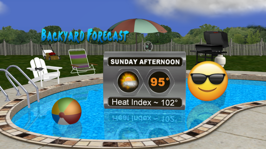
The heat continues Sunday with highs in the mid 90s but thanks to a northwesterly flow again the humidity won’t be too bad making it a perfect day to enjoy the pool.

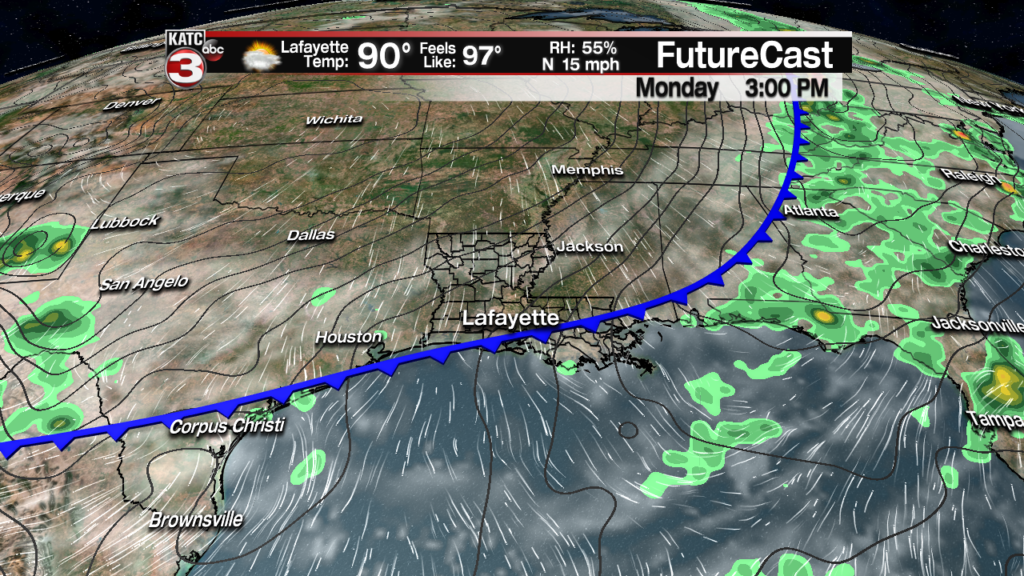
Monday a weak cool front will be dropping down through South Louisiana.

Not expecting any rain with the front but it could produce a fair amount of cumulus clouds during the afternoon with temperatures topping out in the low 90s.
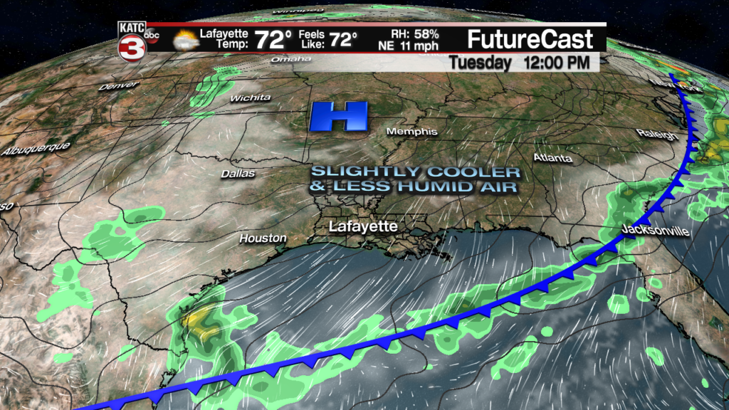
As this front slides farther out into the Gulf on Tuesday high pressure will dive into the Missouri Valley allowing slightly cooler and drier air to move down over the region making it feel more comfortable for June standards with highs in the mid to upper 80s and low humidity.

The pleasant weather continues on Wednesday with highs in the mid 80s although there might be a fair amount of cloud cover during the day.
Sunny skies return on Thursday with highs creeping back to near 90.
Not only will we have a few nice days this week the northerly flow Monday through Thursday should help to push water out into the Gulf helping to drain all the rivers that are running high throughout Acadiana.
Friday high pressure starts to swing off to the east turning winds back out of the east warming temperatures a couple more degrees into the lower 90s.
By next weekend it’s back to full on summer with highs in the low to mid 90s and heat indices climbing into the triple digits.
With the return of the humidity and a southerly flow off the Gulf there will be the slight chance for a pop-up shower or storm but rain chances are only at 10% each day next weekend.

