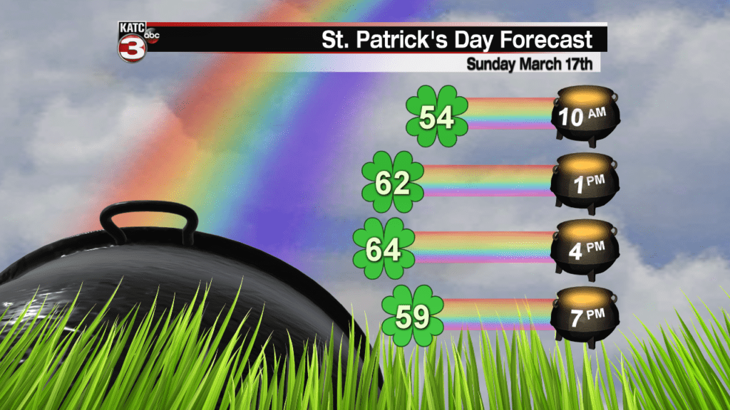
It will be another cool start on Sunday with lows in the mid 40s, but with a bit more sunshine during the afternoon, it should turn out to be a nice St. Patrick’s Day with highs in the mid 60s.

Below average temperatures continue for the first half of the work week with highs Monday topping out in the upper 60s while Tuesday will be a touch cooler in the mid 60s under a mix of sun and clouds.

While overnight lows Monday and Tuesday stay on the chilly side in the low to mid 40s.
Spring-like temperatures return Wednesday through Friday with highs reaching the low to mid 70s as skies become mostly sunny but it will still be on the cool side in the morning with lows in the upper 40s to lower 50s.
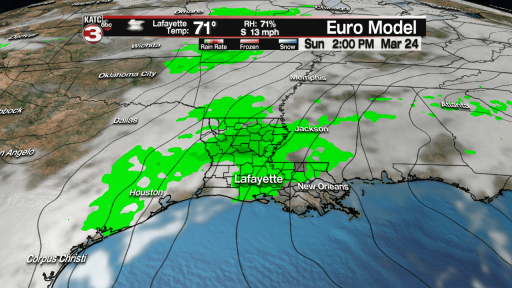
Clouds build back over Acadiana on Saturday in advance of our next weather mark which looks to bring scattered showers on Sunday.

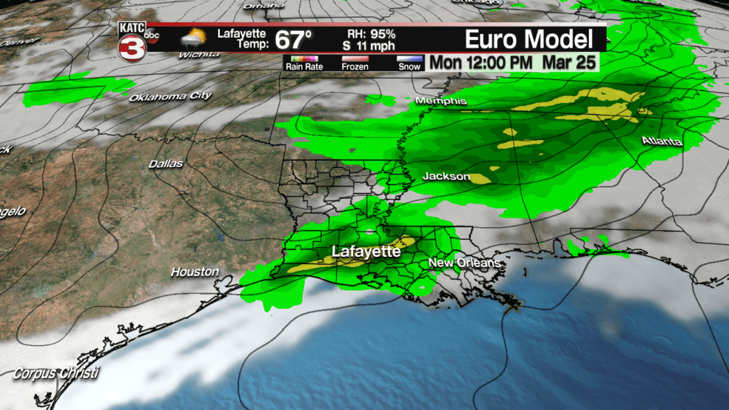
According to the latest European model a cold front will then slide through Acadiana the following Monday sparking off another round of showers and a few thunderstorms.


