


LAFAYETTE PARISH — As another hurricane season approaches, emergency responders across the Gulf Coast are relying on a powerful tool to protect communities: geospatial data.
“Geospatial data is information tied to a location on the Earth." said Rodney Yantis, Director of the NASA Regional Application Center at UL Lafayette.

From satellite images to elevation models, disaster response teams use this data to anticipate for things such as, where floods will strike and how best to evacuate residents. According to Yantis, Katrina changed everything.


“Responders from out of state had never been to New Orleans, these images helped them figure out where they were and how to get people out,” he said.
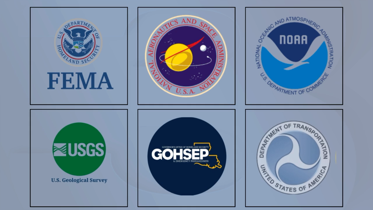
That experience led to the creation of a national remote sensing task force, followed by global coordination through the International Charter for Space and Major Disasters. Today, Yantis can request satellite data from 17 countries to respond to major storms.
Does this sound like something you'd be interested in learning more about? You're in luck because there is a FREE training session upcoming for emergency response teams and managers, along with anyone else interested, to learn more and make connections.
The Geospatial First Responders Workshop at UL Lafayette, held June 5 and 6, trains emergency teams to use this data effectively. More information on that event can be found here:
“We call them geospatial first responders — the people using data to support those saving lives,” Yantis said.


